How To Study A New Lake's Map To Find Fish
Doing your homework is essential when planning to fish a new body of water. Research and map study go hand-in-hand when you want to formulate a plan for fishing unfamiliar waters, and most importantly, to find fish.
Before looking at a map of a new body of water, go online and gather as much information as you can about the fishery. Finding out the best patterns for the time you plan on fishing the unfamiliar waters helps you pick out the hot spots when looking at a contour map of the fishery. Website like Fishidy.com have the best resources for this type of research.
Looking at a paper map from a distance helps you quickly determine the largest areas of deep and shallow waters and how a river channel winds through a reservoir. You can also refer to the electronic maps from your boat because these maps are usually more accurate than the paper maps. You can also go online to look at a Google Earth map of a fishery to search for spots on the satellite photo that might be missing on the paper map.
Reading a topographic map requires the ability to form a mental picture of what lies below the surface of a body of water. You have to visualize that the contour lines represent drop-offs, rock ledges, creek channel bends and other structure.
A good map will show you where the bottom changes from rocks to sand or muck to rocks. Those transition zones hold fish and if you can identify those ahead of time, you are going to be way ahead of the game.
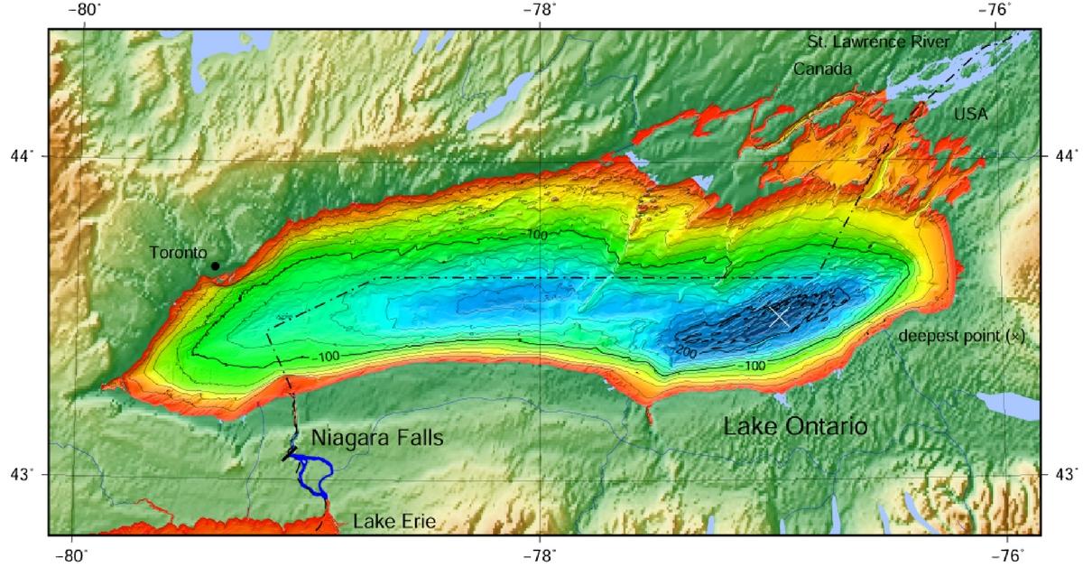
Interpreting contour lines is the most important aspect in the map reading process because it helps you define structure. Tight lines close to the shoreline represent a steep-dropping bank or bluff, while lines bunched in the middle of a lake indicate deep-water structure such as an underwater ridge or channel bend. Tight contour lines also disclose the productive deep bends of river and creek channels that are ideal spots for bass in the summer and winter. Wide bands of contour lines usually signify gradual sloping banks or flats that hold bass in the spring and fall.
With a good map you can isolate coves and bays that have the right water depth for staging prespawn bass by looking at the contour lines and the water depths on those contour lines.
So studying a map helps you find fish and thus spend more time catching and less time searching for bass on unfamiliar waters.
Updated May 19th, 2021 at 6:21 AM CT


